 |
||||||||||||
Namaqualand National Park, home to one of the |
||||||||||||
| THE PARK |
| ACTIVITIES |
| CLIMATE |
| ACCOMMODATION |
| ACCOMMODATION AVAILABILITY |
| TARIFFS |
| RESERVATIONS |
| HOW TO GET THERE |
| MAPS |
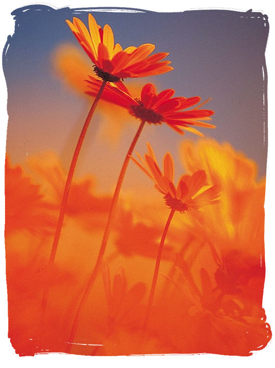
The world renown Namaqua daisies
Namaqualand National Park and the Namaqua flowers spectacle
copyright © South African tourism
The Park,...
This once-a-year floral showcase is a result of dormant seeds germinating in mass all through autumn, followed by heavy winter rains. Usually the flora goes away during the arid summer season months, but survives in seed form, awaiting another rainy winter.
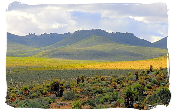
Namaqua landscape carpeted with flowers
Namaqualand National Park and the Namaqua flowers spectacle
Photograph by Martin Heigan
As a result every single time as soon as the wet season arrives during early August and September, almost instantaneously the thirsty valleys of Namaqualand turn into a wonderland, carpeted with wildflowers.
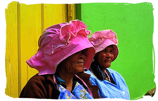
Namaqua women
Namaqualand National Park and the Namaqua flowers spectacle
copyright © South African tourism
Originally there was the Skilpad Nature Reserve which was established in 1993 to preserve Namaqualand’s plant life. It formed the nucleus of the new Namaqualand National Park which was officially proclaimed in August 1999 with the addition of 500 sq. km of land. The Park now covers an area in excess of 700 km².
The Namaqua region isn't just about flowers. Small old-timer towns, which include exotic names such as Kamieskroon, Aggeneys, Garies and Nieuwoudtville, are as much a part of the scenery as the spectacular flora.
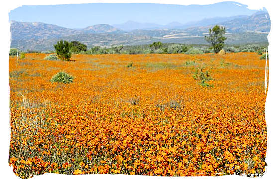
Fields upon fields of flowers
Namaqualand National Park and the Namaqua flowers spectacle
Photograph by Martin Heigan
The park is an important part of the semi-desert Succulent Karoo biome, known as one of the most unique biomes across the world. Having a winter rainfall period, it is actually the world's only arid biodiversity hotspot, housing the richest bulb flora as well as the largest concentration of succulent plants of any arid region in the world. Of the estimated 3500 plant species in Namaqualand, more than 1000 are found nowhere else on earth.
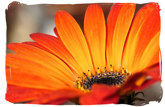
Close-up of the Namaqua daisy
Namaqualand National Park and the Namaqua flowers spectacle
Photograph by Mike Cilliers
The rigorous weather conditions in the Namaqua region gave rise to multitude of life forms which have adapted perfectly to their unique habitat. Amphibians and also reptiles feature prominently in this particular ecosystem, with a large number of endemic species.
The same thing took place with the mammal and bird species. Animals such as the Klipspringer, Aardvark, Baboon, Steenbok, Duiker, Porcupine, Black-backed jackal and Leopard to name but a few, have likewise adapted wonderfully to the challenging conditions.
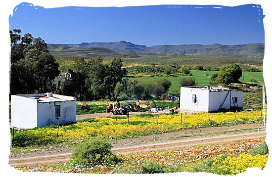
Farm labourer cottages near Calvinia
Namaqualand National Park and the Namaqua flowers spectacle
Photograph by Mike Cilliers
The Park is home to the world's smallest tortoise, the Namaqua speckled “Padloper” (Roadrunner). Birding in the park can still be explored more. Species to search for include Cinnamon-breasted Warbler, Cape Long-billed Lark, Karoo Lark, Black-headed Canary and Cape Bulbul. Black Harriers quarter the ground in search of rodents.
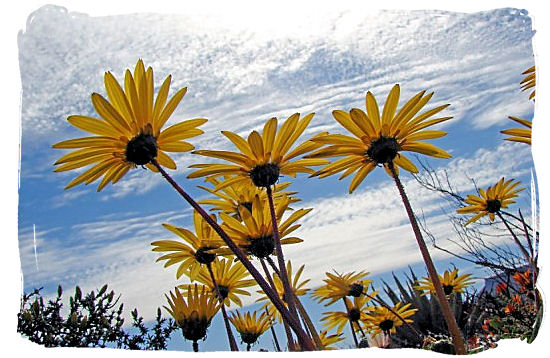
The world renown Namaqua daisies
Namaqualand National Park and the Namaqua flowers spectacle
Photograph by Mike Cilliers
Checklists of the Mammal, Amphibian, Retile and Bird species that can be found in the Namaqualand National Park, are provided by South African national parks as follows:
Mammals
Birds
Amphibians
Reptiles
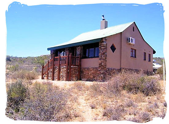
The Chalet accommodation in the Park
Namaqualand National Park and the Namaqua flowers spectacle
Photograph by Senyetse
You should not miss out on visiting this beautiful and unique National Park. The gorgeous fields of flowers, star studded nights, Quiver trees together with massive granite outcrops separated by sandy alluvial valleys are but a few amazing things that await visitors.
<<< Top of Page
ACCOMMODATION,...
You should not miss out on visiting this beautiful and unique National Park. The gorgeous fields of flowers, star studded nights, Quiver trees together with massive granite outcrops separated by sandy alluvial valleys are but a few of the amazing things that await visitors.
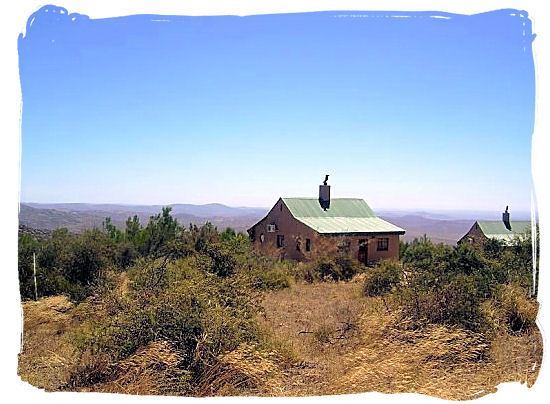
Chalets in the Namaqua national park
Namaqualand National Park and the Namaqua flowers spectacle
Photograph by Senyetse
A nice dining place is available on the enclosed veranda. In addition an in-house fireplace and an outdoor braai area has also been included.
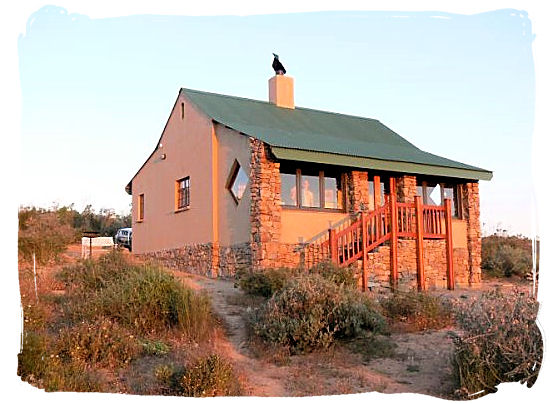
Chalet in the Namaqua national park
Namaqualand National Park and the Namaqua flowers spectacle
Photograph by Senyetse
All the chalets have been equipped with ceiling fans and 220V electrical power. One of them also has been adapted so that it can be used by visitors that have impaired mobility.
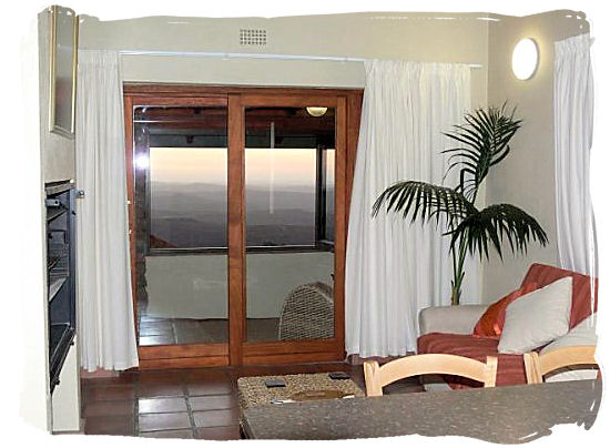
Inside view of the chalets
Namaqualand National Park and the Namaqua flowers spectacle
Photograph by Senyetse
The kitchen area has been very well equipped with crockery and cutlery, cooking utensils, glassware, a 4-plate stove, microwave, fridge / freezer combination, kettle and toaster.
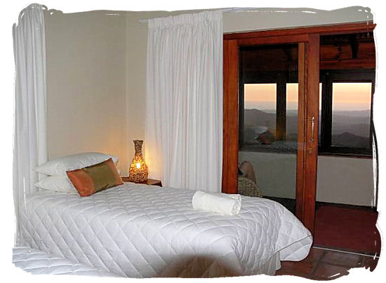
View of the bedroom in the chalets
Namaqualand National Park and the Namaqua flowers spectacle
Photograph by Senyetse
Additionally, there are a good number of Bed and Breakfast establishments, guesthouses and guest farms in the Namaqua region for those that would like to have a look around the Namaqua region beyond the borders of the Park itself.
<<< Top of Page
Maps,... Namaqua National Park can be found some 495 km north of Cape Town off the N7 highway to Namibia, and 67 km away from the town of Springbok in the north.
The nearest town is Kamieskroon, which is situated about 22 km from the Namaqua Park offices. Approximately 17km northwest of Kamieskroon lies the Skilpad section of the Park.
The interactive map below shows South Africa, with a marker indicating the Namaqualand National Park. Zoom in to see a close up aerial view of the Park.
- Use the plus/minus button in the left-hand bottom corner or the the scroll wheel of your mouse to zoom in and out.
- Alternatively, put the mouse cursor on any location on the map that you want to explore and click repeatedly with the left hand mouse button to zoom in or out, without moving the mouse.
- Moving the mouse cursor on the map with the left hand mouse button clicked in, will allow you to move the map up and down and left and right.
- The button on the left in the title bar at the top will take you to a satellite view of the map
- The button on the far right in the title bar will take you to a larger map
- Click on the refresh button of your browser to return to the original map.
view a map with directions to the Skilpad section of the Nationel Park.
view a map of the Skilpad flower route in the National park..
<<< Top of Page
How to get there,...
The airports nearest to the National Park are the international airport at Cape Town and the domestic airport at Upington. From there you will have to travel by road. Alternatively you can charter a plain and fly to the nearest airstrip, which is the Springbok airstrip in the Goegab Nature reserve, about 67km away from Namaqua National park.
By road From Capetown
The interactive map below shows South Africa, with a blue line indicating the route from Cape Town to Namaqualand National Park. Zoom in to see the details of the route, they will show you exactly how to go.
- Use the plus/minus button in the right-hand bottom corner or the the scroll wheel of your mouse to zoom in and out.
- Alternatively, put the mouse cursor on any location on the map that you want to explore and click repeatedly with the left hand mouse button to zoom in or out, without moving the mouse.
- Moving the mouse cursor on the map with the left hand mouse button clicked in, will allow you to move the map up and down and left and right.
- The button on the left-hand bottom corner will take you to a satellite view of the map
- Click on the refresh button of your browser to return to the original map.
The interactive map below shows South Africa, with a blue line indicating the route from Upington to Namaqualand National Park. Zoom in to see the details of the route, they will show you exactly how to go.
- Use the plus/minus button in the right-hand bottom corner or the the scroll wheel of your mouse to zoom in and out.
- Alternatively, put the mouse cursor on any location on the map that you want to explore and click repeatedly with the left hand mouse button to zoom in or out, without moving the mouse.
- Moving the mouse cursor on the map with the left hand mouse button clicked in, will allow you to move the map up and down and left and right.
- The button on the left-hand bottom corner will take you to a satellite view of the map
- Click on the refresh button of your browser to return to the original map.
Entrance gate Namaqua National Park and Skilpad section - S 17.80505 E -30.16173
<<< Top of Page
Accommodation availability,...
view a monthly calendar with accommodation availability details for the Namaqua National Park on the Accommodation availability page of the South African National Parks (SANparks) website,
Tariffs,...
View the tariffs applicable for the Namaqua National Park on the official tariff page of the South African National Parks (SANparks) website.
Reservations,...
Book your reservation for the Namaqua National park on the official reservations page of the South African National Parks (SANparks) website.
<< Top of Page
